
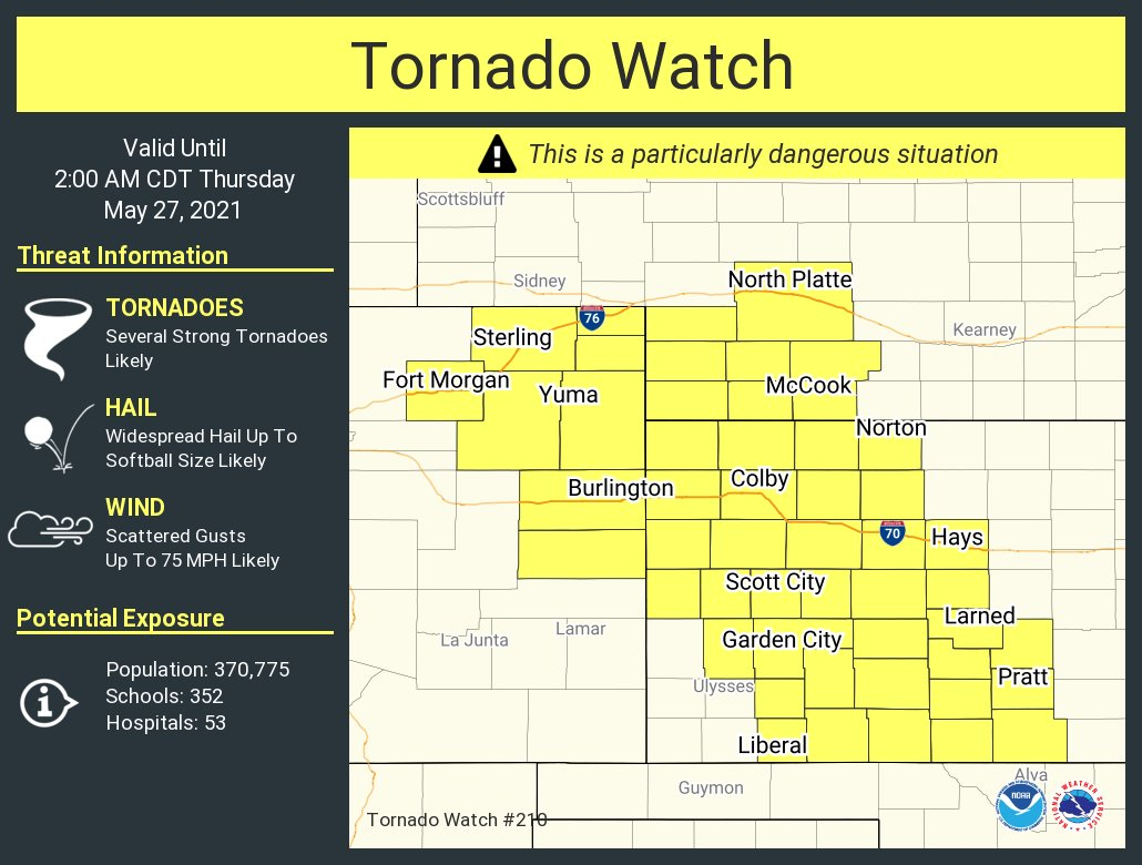
Tornado watch issued for parts of Colorado through Wednesday evening
Tornadoes, wind and hail are all possible threats from thunderstorms that develop Wednesday afternoon through the evening.
The highest concern is within the yellow shaded counties shown here.
The NWS Storm Prediction Center has issued a
* Tornado Watch for portions of Northeastern and extreme eastern Colorado Western Kansas Southwestern Nebraska
* Effective this Wednesday afternoon and Thursday morning from 440 PM until 200 AM CDT.
...THIS IS A PARTICULARLY DANGEROUS SITUATION...
* Primary threats include...Several tornadoes and a few intense tornadoes likely Widespread large hail and scattered very large hail events to 4 inches in diameter likely Scattered damaging winds and isolated significant gusts to 75 mph likely
SUMMARY...Several supercells should develop across western parts of the watch area through this evening and spread northeastward to eastward, offering tornadoes (some strong with EF2+ damage capability), as well as severe to giant hail and locally severe gusts. Clustering into one or more storm complexes with an increased wind threat may occur later this evening. The tornado watch area is approximately along and 75 statute miles east and west of a line from 30 miles north northwest of Imperial NE to 55 miles south southeast of Dodge City KS. For a complete depiction of the watch see the associated watch outline update
The threat for Colorado is primarily during the afternoon before storms move to Nebraska and Kansas.
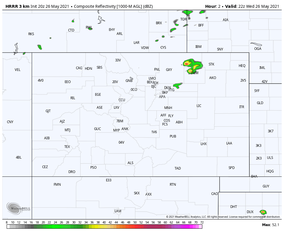
Here is an animation through Wednesday evening to show possible locations of thunderstorms.
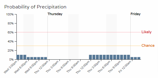
As far as Denver and other metro locations, there is a chance of thunderstorms but a much lower probability than areas to the east.
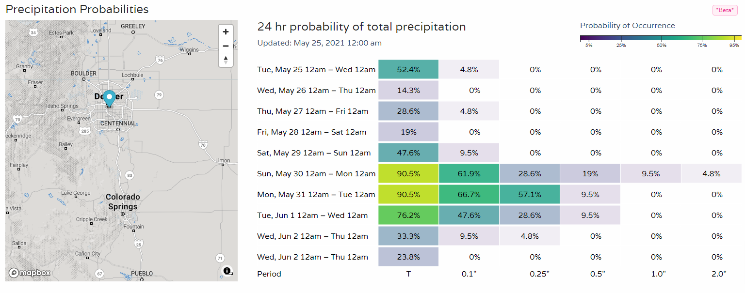
For Denver, there's an uptick in the potential for damaging thunderstorms this weekend as we discussed with Insiders previously.
Stay safe, there'll be a lot to cover. Follow our Twitter feed for the latest watches and warnings for Colorado.