Denver weather: Cooling off through the end of the week with an increased chance of rain

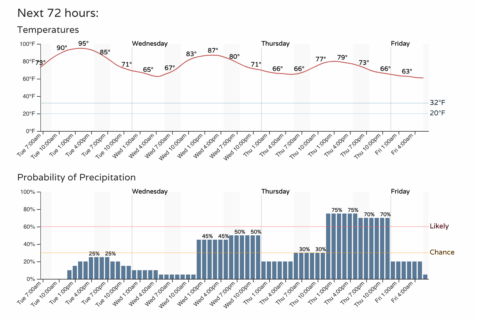
Denver and the Plains will gradually cool down through Friday following Monday's high of 97°F, which was the hottest temperature of the year so far but did not set a record for the date. Through Monday, Denver is still within the top 20 coldest year-to-date and summer-to-date years on record.
We did set some records across the state Monday.
Alamosa did indeed get hotter!
— NWS Pueblo (@NWSPueblo) July 17, 2023
Alamosa soared to 95°F at 4:04PM this afternoon🥵
This is 3°F hotter than the previous daily record high temperature for this date. #cowx https://t.co/yF9C9YxLkw
UPDATE: looks like 107 will be the official recording for today's high temperature reading at Grand Junction Airport. 😎🌞🏜️
— NWS Grand Junction (@NWSGJT) July 18, 2023
Although there is still some hot weather today – Grand Junction likely headed to another record, Denver and the Northern Front Range cool off a bit with a slight increase in our rain chances.
With rain chances the next few days, especially Thursday, we have some cooler temperatures to go along.
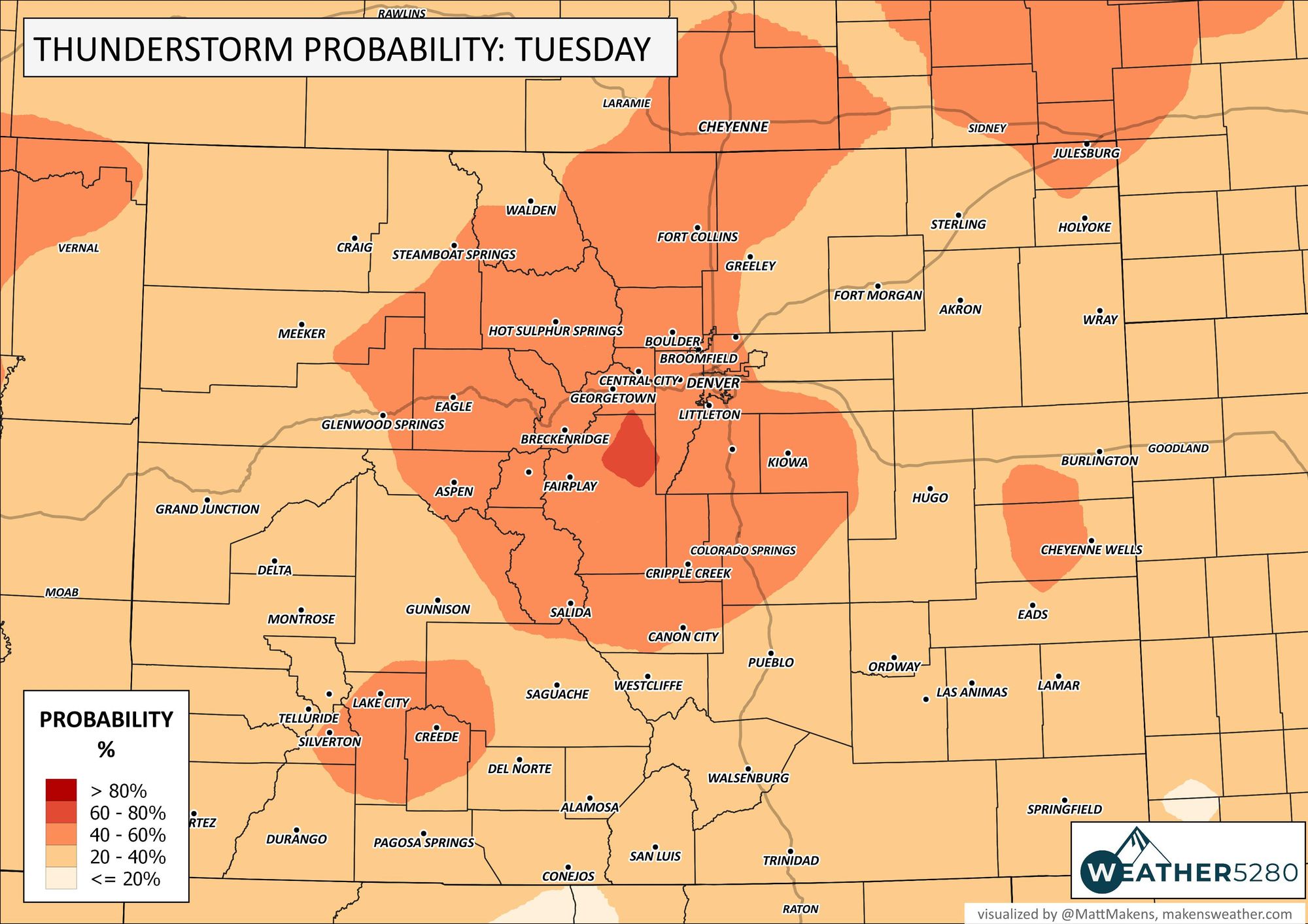
Let's turn to today's storm chances, albeit much lower than we will have in the days ahead.
Across the state, the highest chance for storms is smack dab in the center.
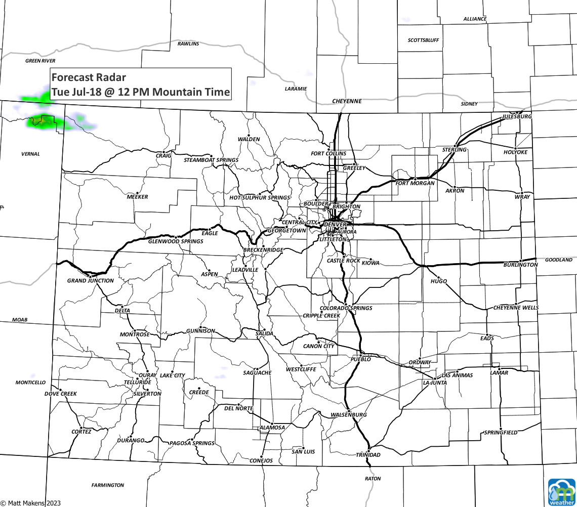
Here's a timeline of the storms as they develop over the mountains and move east this afternoon and evening.
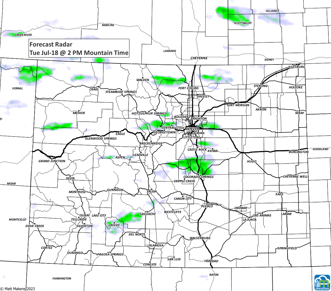
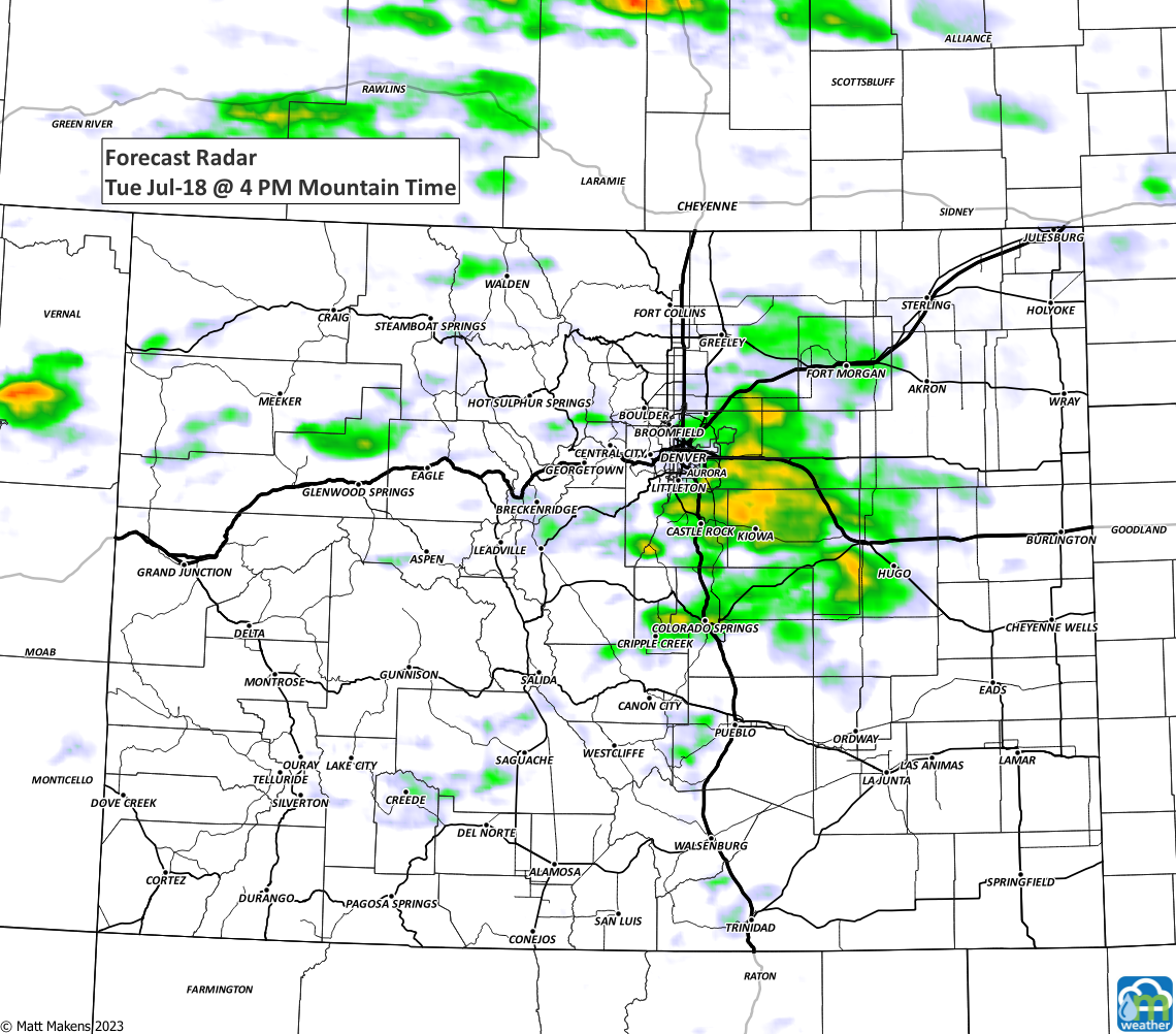

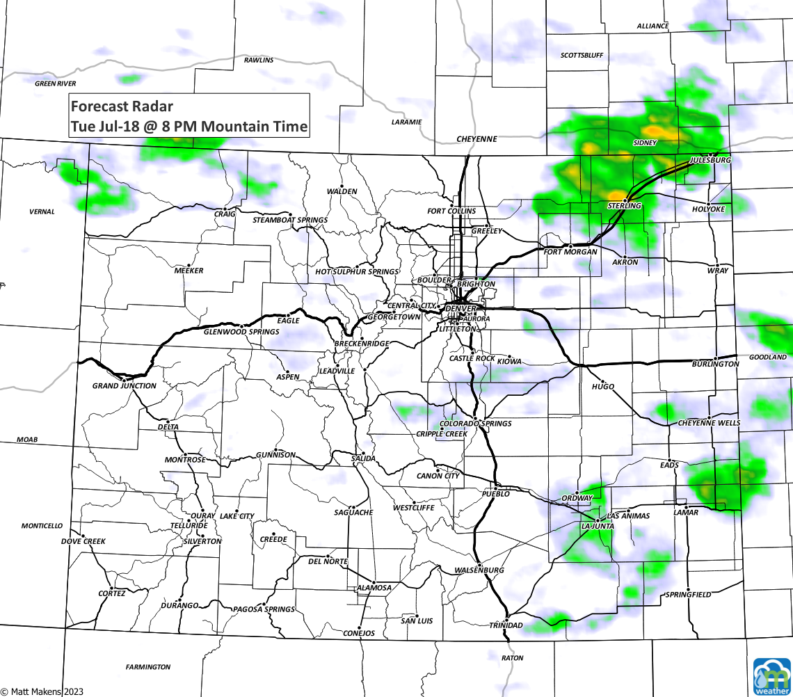
In terms of severity, here's today's outlook which shows the environment is not likely to lead to severe storms here in Colorado, but east of us has a more dangerous setup.
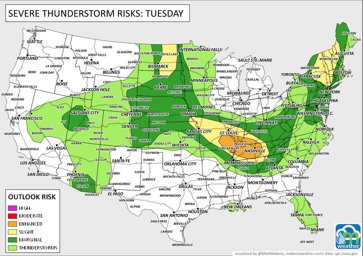
We'll touch on the upcoming better chances of rain in our next update. For now, look for that slightly cool off today, and look forward to a more notable cool-off over the next couple of days.
It's about that time of the year where we see the monsoon kicking in. Where is it?
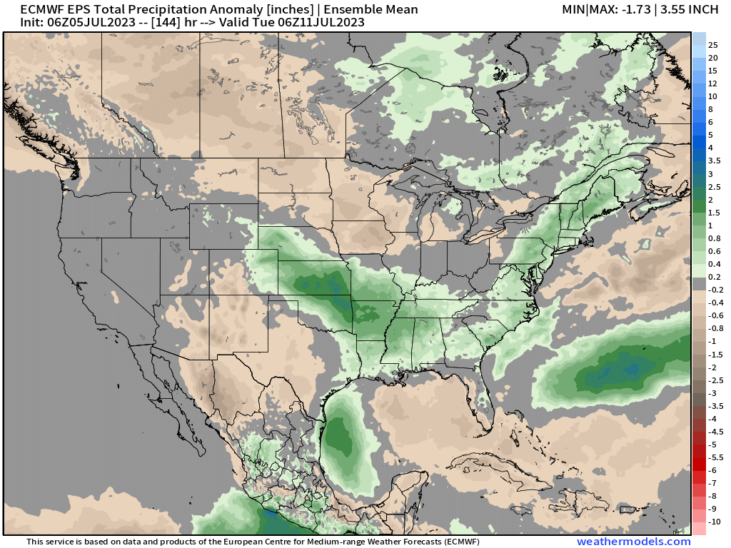
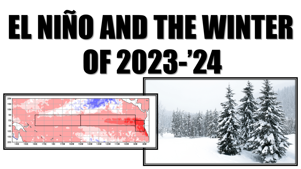
And, that monsoonal outlook is driven in part by El Niño which we have expanded to cover the outlook into next winter.
