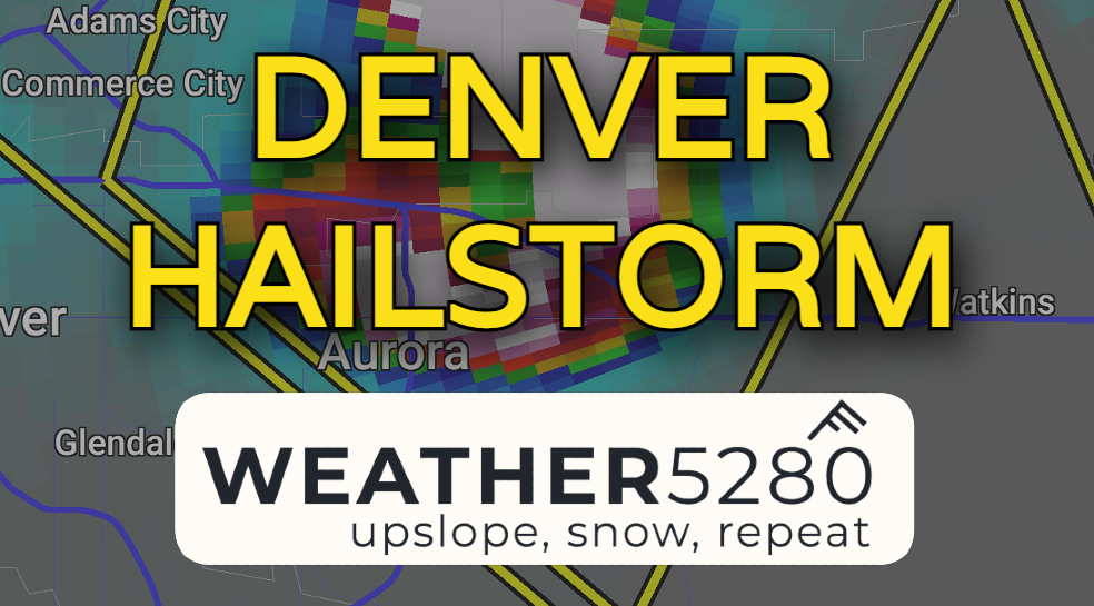
Denver Metro slammed with worst hail event in years

Weather5280 warned you Thursday morning about damaging thunderstorm potential for the evening. Severe storms certainly delivered on that.
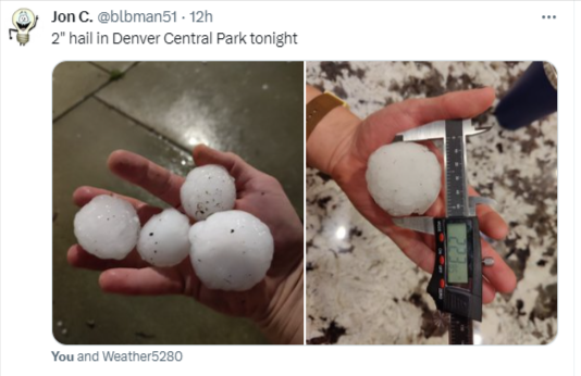
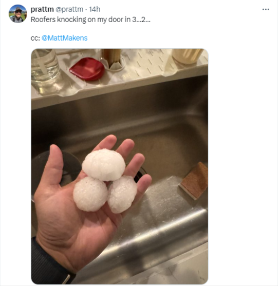
Golf ball to baseball sized hail pelted the Denver metro after sunset Thursday night as powerful thunderstorms formed along a tongue of surface moisture that was drawn in throughout the day.
This is likely one of the worst hail events to strike the Denver Metro and surrounding areas since the $2.3 billion dollar disaster in 2017.
Below are some pictures and video from the event Thursday night:
From Colorado Springs @BianchiWeather pic.twitter.com/UTpC5beh0Y
— Luke Victor 🌨️🌨️📈 (@LukeVictorWx) May 31, 2024
For more hail video, pictures and analysis, click here!
The setup
We've been dealing with more robust return flow the past few days leading to increasing moisture across the front range. As such, thunderstorm potential has really been ramping up.
Last night, a steady easterly breeze, which was likely enhanced by retreating thunderstorm outflow from Kansas, produced some weak surface upslope. Combine that with CAPE values (think severe storm juice) that were between 750-1250 j/kg (that's good juice for Colorado!)... add in a little bit of upper-level dynamics and... boom!
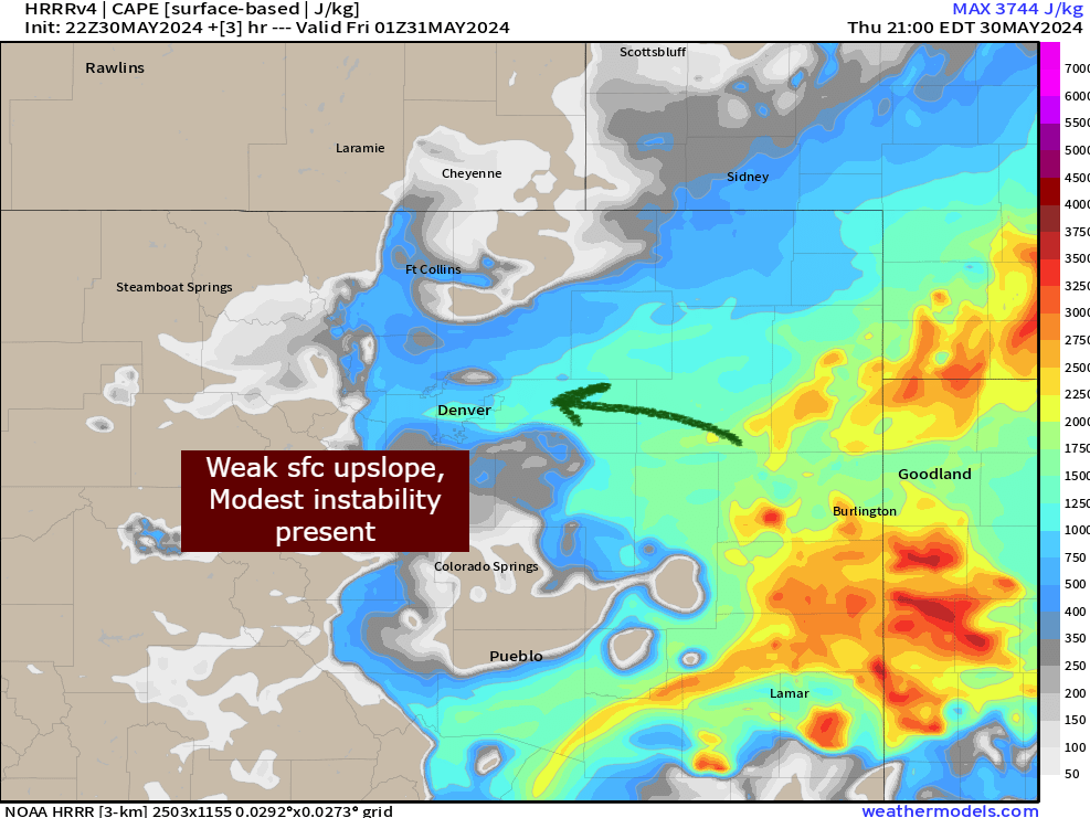
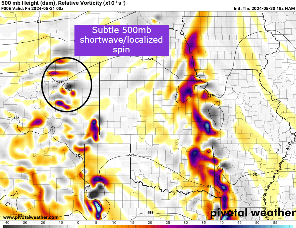
This was combined with a barely present ripple of energy kicking out of the mountains yesterday evening... but sometimes around here, all you need is just a little bit of everything in the wrong place to produce some nasty results.
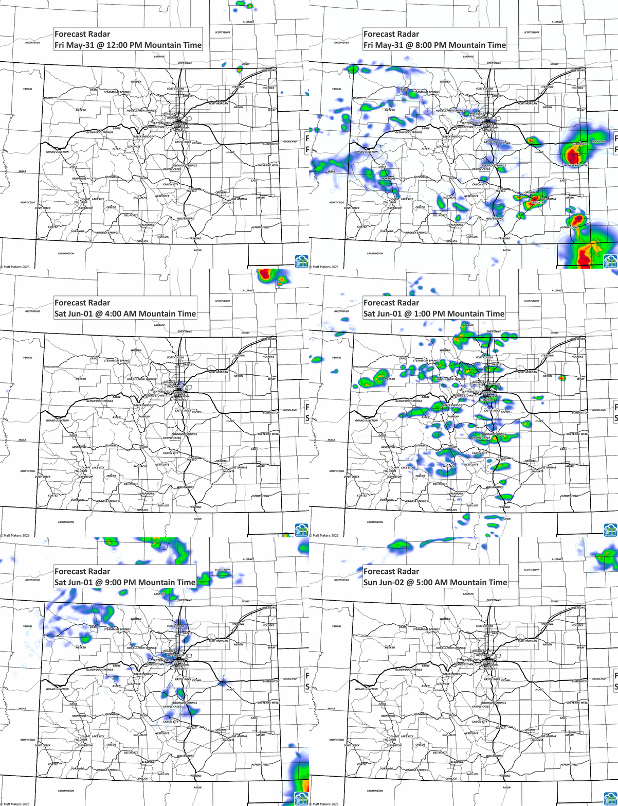
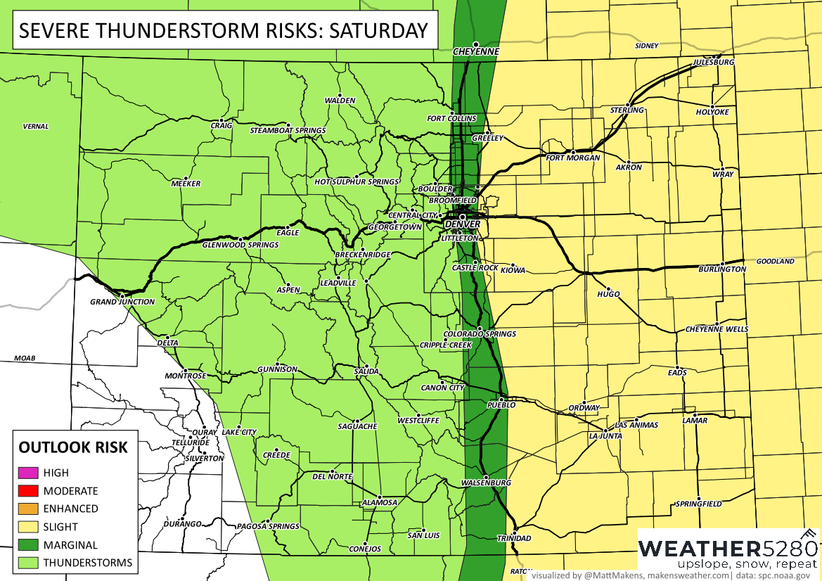
Do we have any more severe weather on the way? It looks like we'll at least monitor some thunderstorm risk today (Friday) and into Saturday.
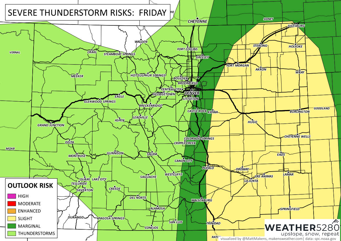
A slight risk of severe weather (isolated to scattered coverage) exists for large hail, damaging wind and a possible tornado threat. Spinners would be a bit more likely over the plains.
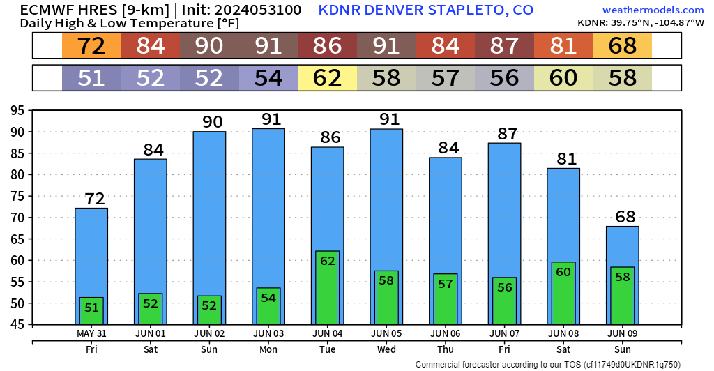
Beyond that, we actually look to see our first little mini heat wave of the year. Widespread 80s and 90s look likely for most starting Sunday, lasting through Friday! Get out the sunscreen and speedos, folks, summer is on approach!
Stay on top of everything that Colorado weather will throw at us by subscribing to our e-mail list!
