
Colorado Weather: Convective snow likely Saturday afternoon

Hey everyone! We have a pretty interesting setup for you on Saturday afternoon. You think back to summertime around here and how certain days/weather patterns can produce daily afternoon thunderstorms.
Well, today is a pretty similar set up to one of those days, except it's cold enough for snow. As much, the likelihood for thunder is very low, but NOT totally out of the question for maybe a rumble in the Pikes Peak Region.
With the convective nature of these afternoon snow showers, we could, at times, see very heavy bursts of snowfall.
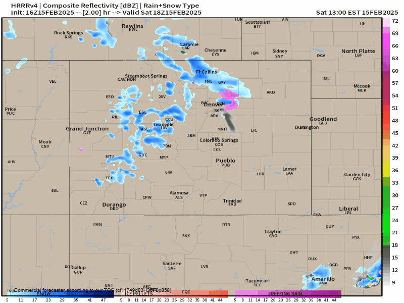
Above is the simulated radar from the HRRR. The animation is from 11AM to 10PM this evening. It looks like the main window for snowfall will be from 2pm to 6pm along the I-25 corridor. Heaviest snow amounts look to focus around Colorado Springs and the Pikes Peak Region.
Depending on how long someone sits under one of these heavy bursts of snow, several inches of snow could be possible. This is likely one of those storm systems where totals could range from a T-6" of snowfall over a relatively small area.
The National Weather Service has fired off a Winter Weather Advisory for El Paso County ahead of this snow chance.
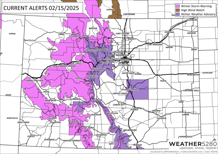
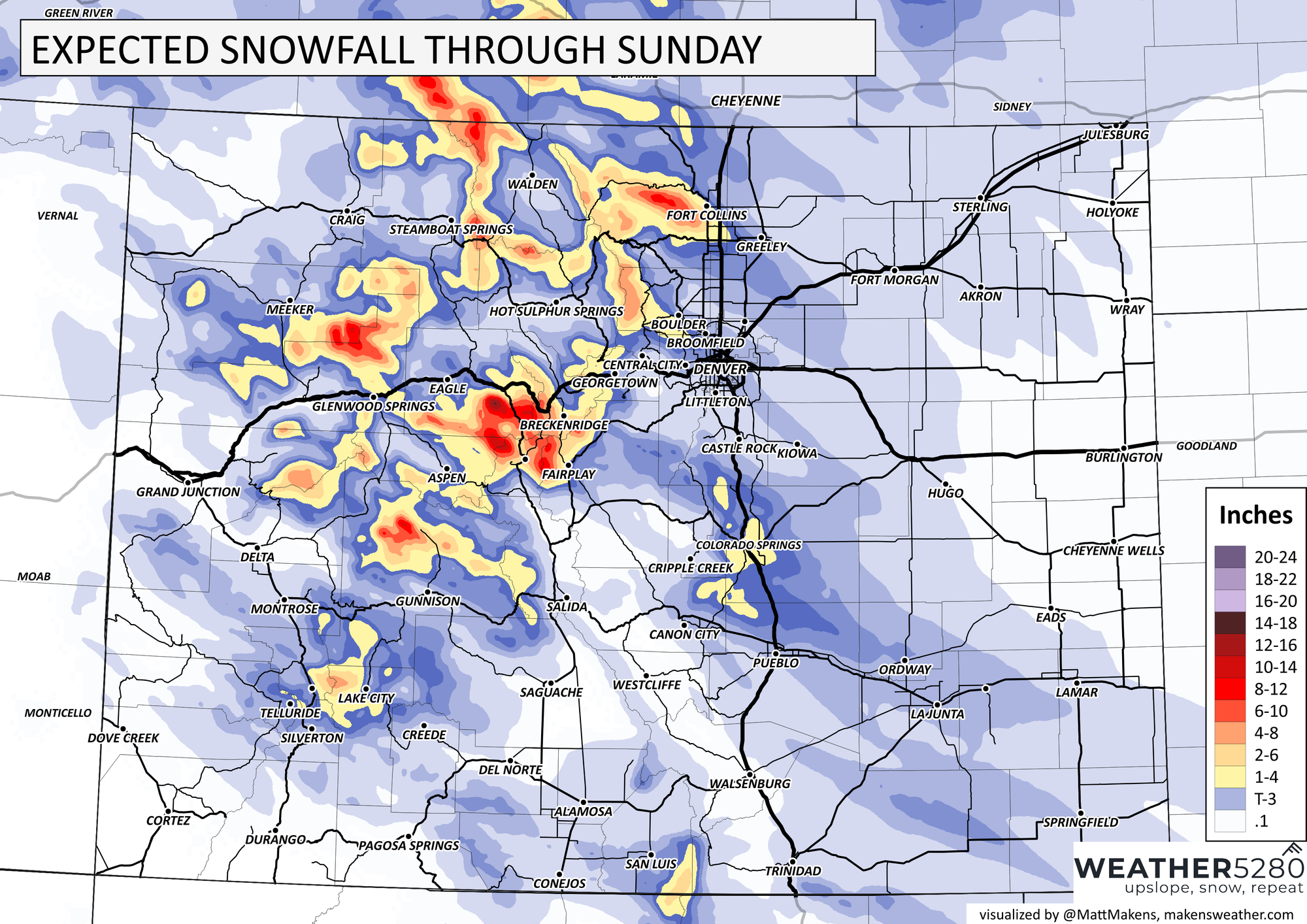
Winter storm warnings remain in effect for the mountains where a high-impact mountain storm from Friday and early today is slowly beginning to wrap up.
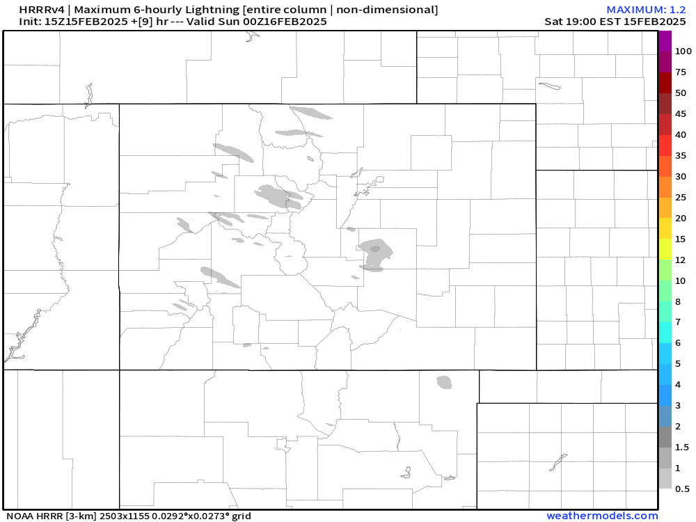
Just for fun, here are the lightning parameters for this afternoon... a couple flashes could be possible around Colorado Springs! However, the chance for widespread thundersnow is almost non-existent. Would be a nice treat though.
Another arctic front arrives early next week, which could bring some more snow to the region, we'll break down those impacts with another update for you tomorrow.
Have a good one folks, and stay safe out this evening!
Luke