Snow returns Thursday evening, could impact commute

Hey all! More winter weather is on the way today, which means it's time to make another post!
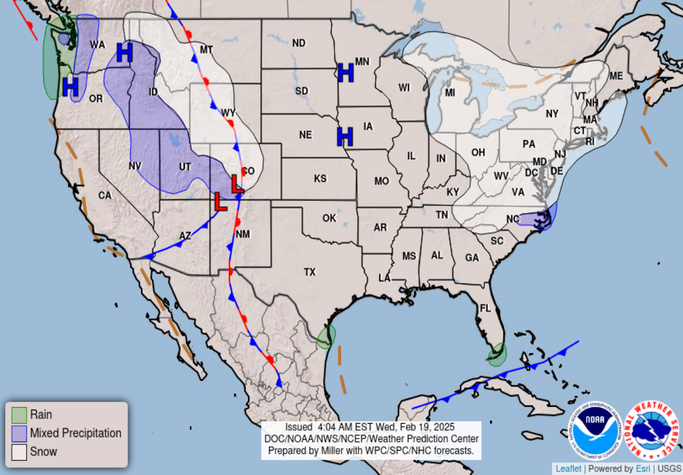
We're working our way out of a pretty stiff round of cold air that brought subzero temperatures to Denver Wednesday morning. We won't be AS cold today, but another quick-moving system should shake things up by Thursday evening, bringing us another cold front and some of us a pretty solid shot for snowfall.
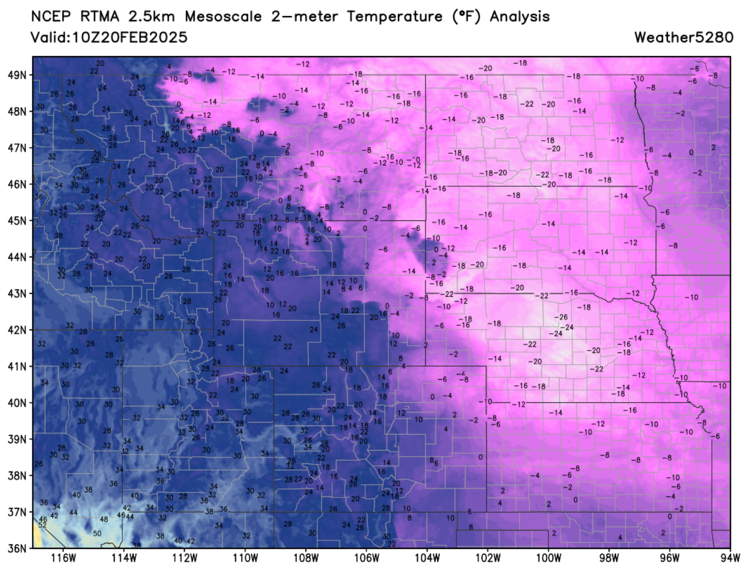
Before we dive in, check out these frigid temperatures across the high plains this morning. Not exactly a cake-walk of warmth along the urban corridor either, but nothing like central Nebraska this morning! 🥶
Now for the incoming system...
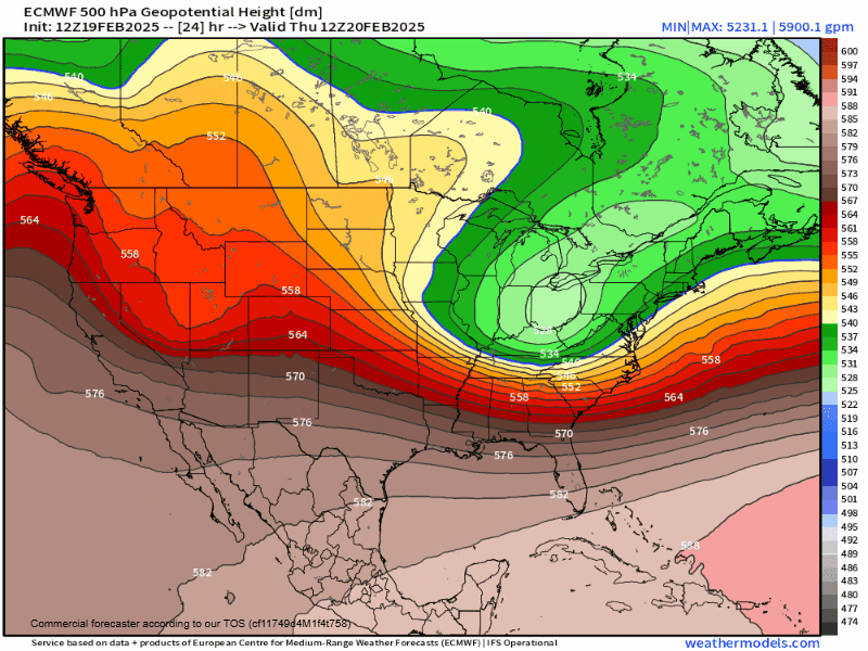
Breaking down the overall weather pattern... it's not anything significant. Just a little ripple in the flow that will produce just barely enough action in the atmosphere to bring the central/northern mountains, along with the front range a minor/moderate snow event.
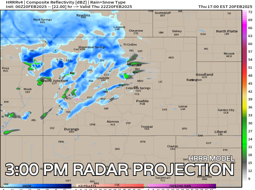
We will start Thursday off dry but likely see clouds for much of the morning. Clouds will thicken up into the afternoon, with snow showers beginning to fly in the higher terrain just after lunch time. Snow will likely increase for the Denver Metro area and I-25 after 3-4pm which could mean a dicey evening commute.
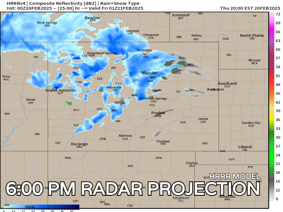
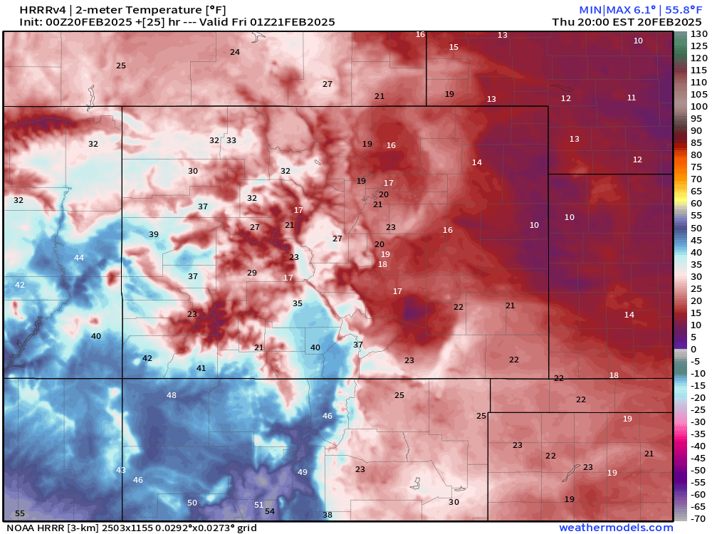
Unfortunately, we'll combine that snowfall with temperatures WELL below freezing. In fact, most places along I-25 are at 20 OR below as snow begins to pick up.
Depending on if we can get some sunshine tomorrow might be one of the key players for how roads turn out Thursday evening. A bit more sun may slow down the initial accumulation.
Enough cars out on the roadways can also help things out a little bit.
But, depending on melting, once traffic dies down, slick spots could redevelop into the overnight. Timing could also be a bit rough with the evening commute, so be aware as you head off to work today.
Did you miss our seasonal update?
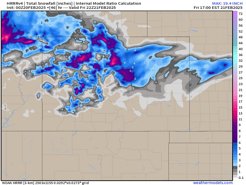
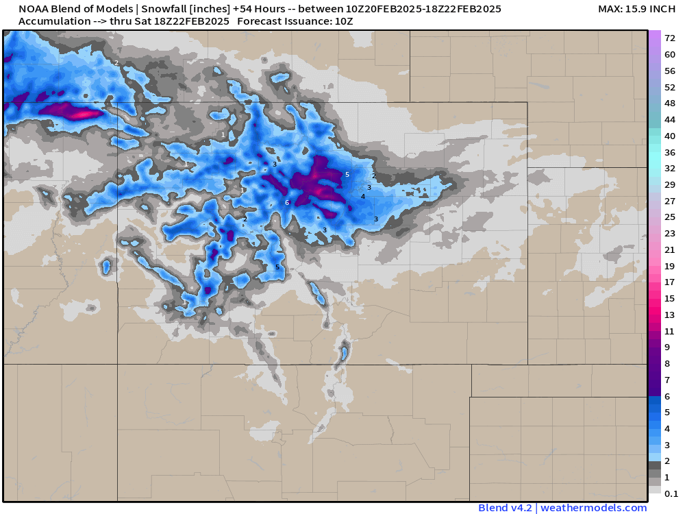
Snowfall forecast
Seems like a healthy boost of snow is in order for the northern and central mountains. Somewhere between 4-10" is probably a good range west of the foothills.
As far as the front range, somewhere between 2-5" is a good start, with higher totals west and under and localized heavier band of snow. A Winter Weather Advisory goes into effect for the Denver metro area late this afternoon and continues into early Friday morning. We'll break down our city-by-city totals below.
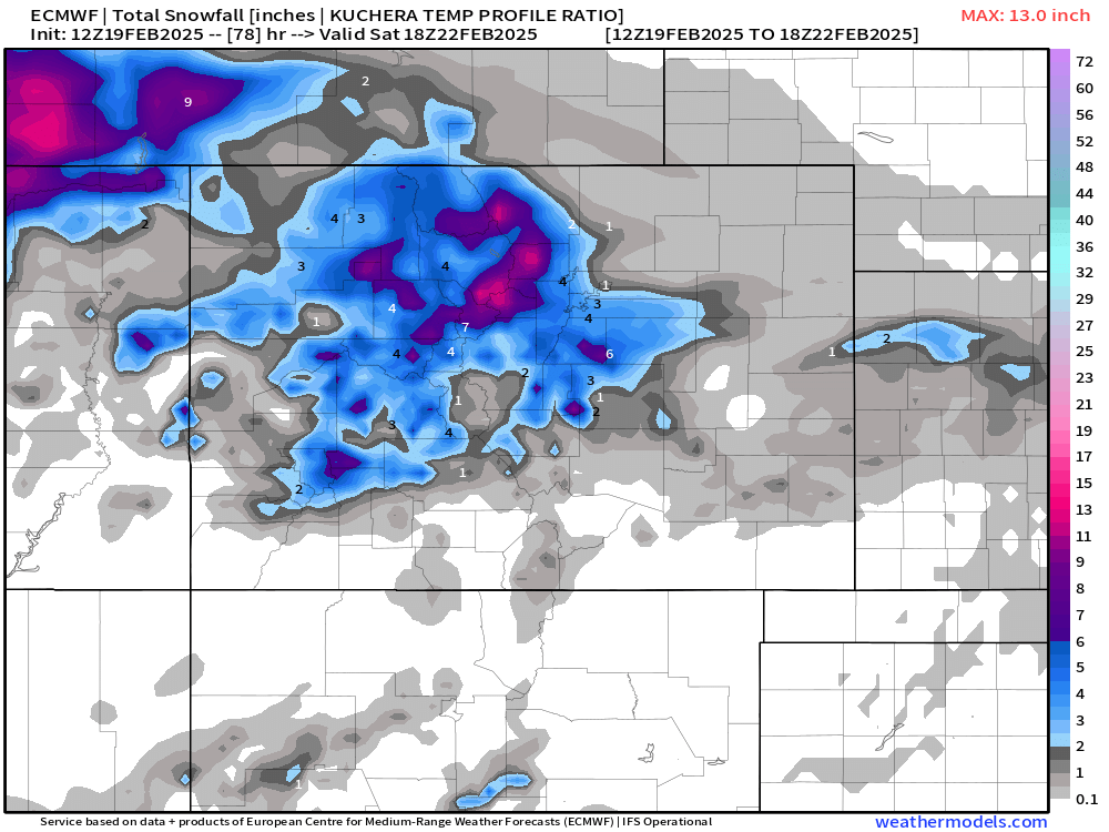
Snowfall Amounts by City
Denver - 2 to 5"
Fort Collins - Trace to 3"
Boulder - 3 to 6"
Golden - 3 - 7"
Castle Rock - 3 to 7"
Monument - 2 to 5"
Colorado Springs - T to 3"
Palmer Divide- 3 to 7"
These ranges should cover us pretty good, but it feels like there's a surprise or two in there – we'll see. The latest HRRR model shows a pretty good (albeit narrow) swath of 6 - 8" totals north/northwest of Denver (think Boulder, Coal Creek, extending east through Broomfield) so we'll have to watch closely to see if that materializes or not.
Looking ahead
You might be kinda over the cold and snow for a bit... I don't blame ya. There's some good news for those of you who have been patient!
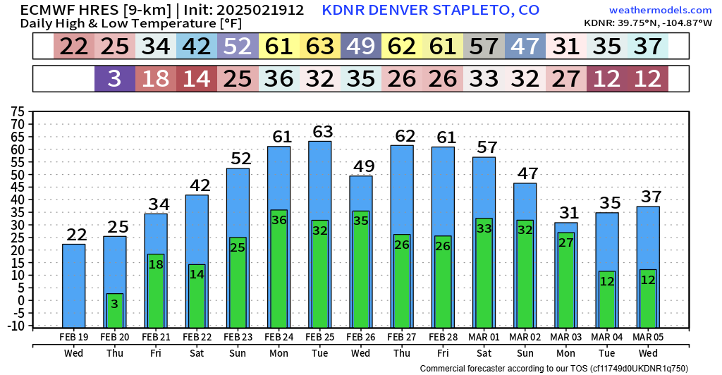
Likely our warmest stretch of weather ALL winter is on the way starting later this weekend. 50s/60s for several days could be possible for much of next week! There will be some question marks on how early March shapes up... and we know how interesting of a month that March can be around here!
Have a good one folks and stay safe on the roads later today! As always, share your reports and photos in the comments, and enjoy the calm and warming weekend ahead!